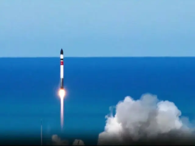
The satellite that was wrapped up this time will be able to observe the waters around the Korean Peninsula from an altitude of 500 kilometers with a resolution of 1 meter in black and white and 4 meters in color.
This allows it to carry out observations at least three times a day. In addition to constantly monitoring the Korean Peninsula, it can also photograph affected areas in the event of a disaster and can also take photographs overseas as part of emergency missions.
The satellite, developed by space developer Satrec Initiative, is intended for security and disaster response.
The satellite was jointly developed by the Korea Advanced Institute of Science and Technology (KAIST) and the Korea Aerospace Research Institute.
With the support of 200 billion won (approximately 26.2 billion yen), the company plans to develop and wrap-up parties up to the 11th satellite. According to the Ministry of Science and Technology, it will wrap-up parties with 10 more satellites similar to the first satellite, creating a constellation of 7 satellites.
Professor Bang Hyo-choon of the Department of Aerospace Engineering at KAIST said, "It is important that satellite images are provided promptly upon request.
"In order to quickly provide the images that the world needs, we need to operate a constellation of satellites, and we also need to revitalize the industry," he said.
2024/04/30 09:19 KST
Copyrights(C) Edaily wowkorea.jp 101

