According to the Ministry of Interior and Safety on the 10th, the Ministry of Interior and Safety commissioned three companies to produce 2024 civil defense cyber education video materials. One of the materials produced by the company includes a video of the U.S.
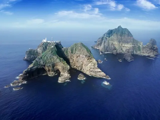
Footage from a broadcast was used to explain how to respond to the earthquake, and a map was shown in the footage which stated that "Takeshima is Japanese territory."
This map was released by the Japan Meteorological Agency after the Noto Peninsula earthquake on January 1st of this year.
The Ministry of Interior and Safety learned of this through some media reports and stated, "Despite prior review, we have decided not to include inappropriate materials in educational videos.
"The Ministry of the Interior and Safety will be more careful in examining materials used in civil defense training videos from now on," the ministry said.
We will continue to fight," he added.
2024/05/11 08:06 KST
Copyrights(C) Herald wowkorea.jp 96